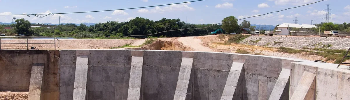
In Elk Grove, where the subsurface often transitions from stiff alluvial silts to pockets of loose sand within just a few vertical feet, assuming uniform behavior below grade is a gamble nobody should take. We have seen too many projects near the Laguna Creek corridor where a supposedly stable cut face started sloughing after a single wetting-drying cycle, and it is precisely this kind of local condition that makes continuous geotechnical excavation monitoring indispensable. The team here couples real-time inclinometer data with good old-fashioned visual inspection, because a number on a screen only tells half the story. When excavation depth pushes past 12 to 15 feet in the mixed soils typical of the city, lateral movements can accelerate fast if dewatering lags behind the cut. For projects that involve adjacent structures, we often recommend tying the monitoring plan to a slope stability analysis early on, so the trigger thresholds actually mean something in the context of the site geology rather than being generic values copied from a manual.
Good monitoring is not about collecting data; it is about giving the superintendent a five-hour head start before the soil tells you something you should already know.
Local ground factors
The mistake we see repeated in Elk Grove is treating the monitoring plan as a compliance checkbox instead of a live feedback loop. A contractor submits the baseline readings, files the weekly report, and nobody looks at the trend until the sidewalk cracks show up on Google Street View. That approach falls apart fast in soils where pore pressure can spike after a single winter storm, turning a stable 14-foot cut into a slow rotational failure over a weekend. The real exposure is not just the shoring wall—it is the 24-inch water main running under the adjacent street or the tilt-up warehouse whose footings bear 9 feet from the excavation line. When the monitoring system is set up with clear yellow-alert and red-alert thresholds tied to actual structural tolerances, the project team can order a berm adjustment or a supplementary dewatering well before the movement becomes irreversible. In the context of Elk Grove, where the building department is increasingly asking for instrumentation data during plan check resubmittals, having a clean, timestamped record of performance also shortens the closeout paperwork considerably.
Frequently asked questions
What’s the difference between periodic manual monitoring and an automated system?
Manual monitoring with a digital inclinometer probe and survey level gives you high-accuracy spot readings, typically once per day or every other day. An automated system—using in-place inclinometers, AMTS total stations, and cloud-connected piezometers—collects readings every 15 to 60 minutes and pushes alerts if movement accelerates outside working hours. On deeper Elk Grove excavations, we often blend both: automated for the critical mid-span of the wall, manual for the perimeter survey points, which keeps the budget reasonable while still providing overnight coverage.
How much does geotechnical excavation monitoring cost for a typical Elk Grove project?
Can the monitoring data help if the building department has questions during the foundation inspection?
Absolutely. A timestamped record showing wall deflection, groundwater levels, and settlement measurements during the entire excavation sequence is often the strongest evidence you can present to demonstrate that the work was performed in accordance with the approved shoring design. Our reports are formatted with time-history plots and clear alert threshold lines, which makes it straightforward for plan checkers and geotechnical reviewers to see that movements stayed within the specified limits.
What instrumentation do you typically install for a 15-foot-deep excavation near an existing building?
For a 15-foot cut adjacent to an occupied structure, the baseline setup would include inclinometer casings behind the shoring at the midpoint and corners, optical survey prisms on the wall face and on the adjacent building foundation, a vibrating-wire piezometer in the most permeable stratum within the excavation influence zone, and crack monitors spanning any existing fissures on the neighboring property. The exact layout gets refined once we review the structural drawings and the geotechnical baseline report for the specific site.